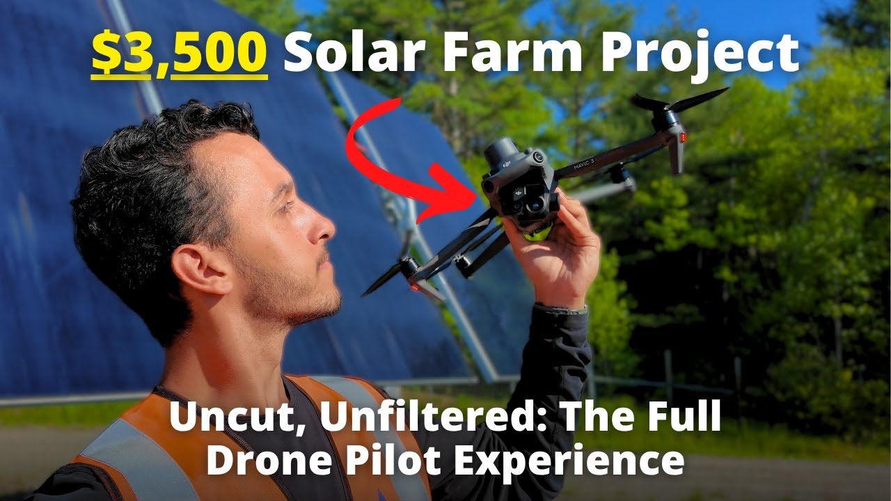
RAAD Logo

RAAD Blog

Insights, trends, and expert perspectives on the future of drone technology and aerial data collection

FeaturedMapping

LiDAR vs Photogrammetry

Is LiDAR or Photogrammetry Better for Mapping and Inspections in 2025? A comprehensive comparison of LiDAR workflow vs. drone photogrammetry to help you choose the right technology for your project.

By Teej RagsdaleJanuary 15, 20258 min read
Read Article
LiDAR vs Photogrammetry
Drone Docks: Overkill or a Killer Solution for Commercial Solar Monitoring?
Solar

Drone Docks: Overkill or a Killer Solution for Commercial Solar Monitoring?

There's a lot of talk about drone docks as the modern, automated solution for renewables monitoring. But do they make sense for you? By the end of this post, you'll have a formula and clear case breakdown to bring to decision-makers in your O&M group.

By Teej RagsdaleAugust 12, 20255 min read
Read More →
Construction UAV SOP: From Pre-Flight to Processing
Construction

Construction UAV SOP: From Pre-Flight to Processing

A comprehensive guide to drone operations on construction sites, covering safety protocols, accuracy requirements, and the wide range of applications from pre-construction to completion.

By Chris TavaniMarch 10, 20259 min read
Read More →
Photogrammetry Mapping UAV SOP: From Pre-Flight to Processing
Mapping

Photogrammetry Mapping UAV SOP: From Pre-Flight to Processing

A comprehensive guide to standard operating procedures for photogrammetry mapping projects, covering accuracy, fidelity, and actionable data delivery.

By Chris TavaniMarch 30, 20253 min read
Read More →
UAV Solar Inspection SOP: From Pre-Flight to Processing
Solar

UAV Solar Inspection SOP: From Pre-Flight to Processing

A comprehensive guide to standardized operating procedures for solar farm inspections using drones, ensuring actionable data collection.

By Chris TavaniMarch 9, 20256 min read
Read More →