Elevate your telecom operations. Access Raad's nationwide network of specialized drone pilots for precision tower inspections, RF mapping support, line-of-sight verification, and rapid site assessments across your entire infrastructure lifecycle.
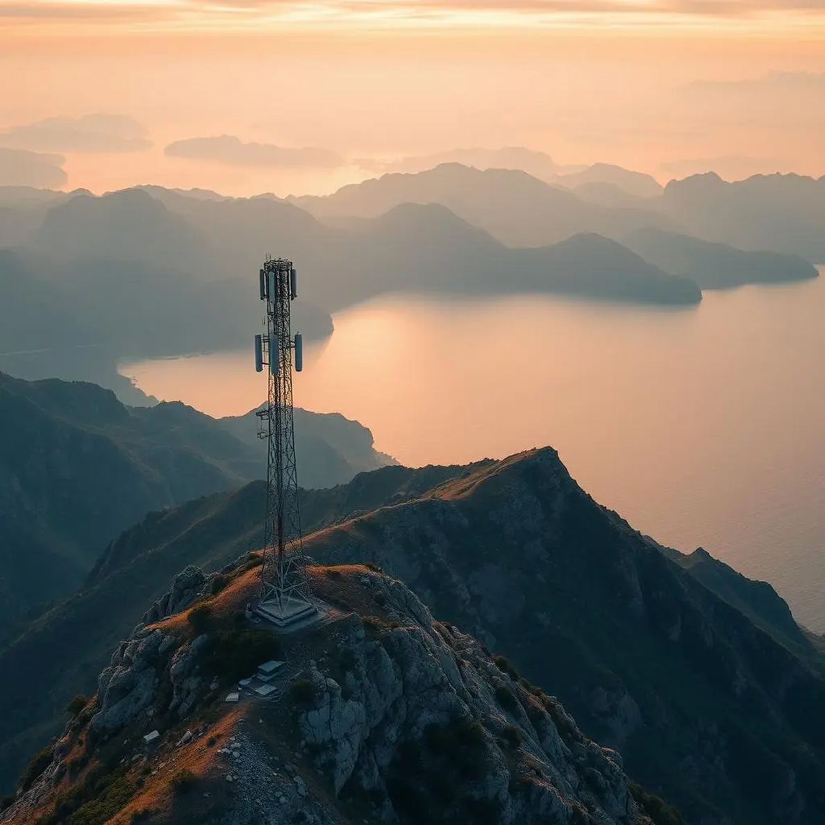
Detailed visual and thermal inspections of cell towers, antennas, and structural components without climbing.
Capture precise geospatial data to complement RF testing and propagation modeling for coverage validation.
Quickly verify point-to-point LoS for microwave links or new site placements, overcoming terrain obstacles.
Managing complex telecommunications networks presents significant obstacles: the inherent dangers of tower climbs for routine inspections, the difficulty of accurately validating RF coverage in diverse terrains, planning efficient deployments, and the critical need for rapid damage assessment after storms. Traditional methods are often time-consuming, expensive, and put personnel at risk.
Eliminate unnecessary risks and delays. Raad instantly connects you with FAA-certified pilots skilled in the specific demands of telecom infrastructure. Leverage drones for rapid, high-resolution visual and thermal inspections, crucial data capture for RF analysis, quick line-of-sight verification, and comprehensive site documentation – improving network reliability while significantly reducing operational costs and safety hazards.
Detailed, close-range visual and thermal inspections of cell towers, antennas, mounts, cabling, and structural components to detect defects, damage, or potential hazards without climbing.
Capture precise geospatial data and high-resolution imagery to complement RF drive testing and propagation modeling, aiding coverage validation, interference hunting, and optimization efforts.
Quickly and accurately verify point-to-point LoS for microwave links or new site placements, easily overcoming terrain, vegetation, and building obstructions.
Capture detailed topographic data and aerial imagery for site planning and monitor the progress of new tower builds or small cell deployments.
Rapidly deploy pilots after severe weather events to quickly assess infrastructure damage, enabling faster network restoration and targeted repair efforts.
Identify and map vegetation encroachment near towers or along fiber routes for proactive maintenance planning.
THE VALUE OF TELECOM DRONES
Virtually eliminate the need for dangerous tower climbs for routine visual and thermal inspections.
Complete comprehensive inspections in a fraction of the time compared to manual methods, enabling faster repair cycles.
Obtain precise, geo-referenced visual data and LoS verification to improve the accuracy of RF planning, site selection, and link budgets.
Lower expenses associated with tower crews, lifts, insurance, and potential damage mitigation through early detection.
Generate detailed, time-stamped visual records for maintenance logs, structural audits, regulatory filings, and asset management.
Every pilot in our network undergoes rigorous verification of certifications, insurance coverage, equipment maintenance, and operational procedures. Our ongoing quality assurance ensures consistent deliverables regardless of project location.
Commercial drone operation certification required for all professional pilots
Night operations, flying over people, and other special authorizations
Specialized training for specific industries and operations
Yes, experienced pilots follow established safety protocols for operating drones near active RF sources, maintaining appropriate standoff distances and utilizing flight patterns designed to minimize interference risks while ensuring complete data capture.
High-resolution RGB cameras with significant zoom capabilities are essential for visual structural inspection. Thermal (IR) cameras are crucial for detecting heat anomalies in equipment, connections, or potential PIM sources. LiDAR can also be used for creating precise 3D models.
Absolutely. We deliver data in standard formats (geo-referenced JPEGs, MP4 video, LAS point clouds, etc.) compatible with common telecom planning tools, GIS platforms, and asset management systems. We can customize outputs as needed.
Drones provide precise GPS coordinates and altitude data linked to visual imagery. This helps validate antenna azimuth/tilt, identify obstructions affecting propagation, and provides accurate context for drive test data or RF simulation results.
Connect with specialized drone pilots ready to support your network deployment, maintenance, and optimization goals across the country. Get safer, faster, and more accurate data.