RAAD Logo
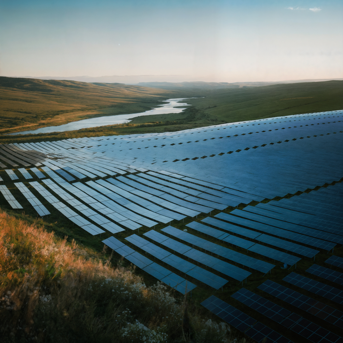
Drone performing a thermal scan over a large utility-scale solar farm

MAXIMIZE YOUR SOLAR ROI:
PRECISION DRONE DATA

From site assessment to operational excellence, unlock the full potential of your solar assets. Connect with Raad's specialized pilots for comprehensive aerial, thermal inspections, and progress monitoring across your entire solar portfolio.

01

SITE ASSESSMENT
& DESIGN

High-resolution topographical mapping, shading analysis, and accurate site measurements for optimal layout design and energy yield forecasting.

02

THERMAL PANEL
INSPECTIONS

Rapidly scan entire solar farms to detect cell defects, diode issues, string problems, hotspots, and other anomalies invisible to the naked eye.

03

PERFORMANCE
MONITORING

Regular inspections to track degradation, identify damage (e.g., post-hail), and ensure ongoing optimal performance of your solar assets.

OVERCOME HIDDEN DEFECTS, OPTIMIZE PERFORMANCE & ENSURE LONG-TERM VALUE

CHALLENGES

Developing and operating profitable solar farms requires meticulous planning and proactive maintenance. Challenges include accurate site viability assessment, ensuring quality control during construction, detecting invisible panel defects (like hotspots or microcracks) that degrade performance, efficiently inspecting thousands of panels, and managing vegetation that causes costly shading. Relying on manual methods is slow, labor-intensive, and often misses critical issues impacting energy yield and asset longevity.

SOLUTIONS

Illuminate your solar operations with actionable aerial intelligence. Raad provides on-demand access to expert pilots equipped with high-resolution visual and thermal sensors specifically for solar applications. Gain detailed pre-construction insights, monitor build quality precisely, identify underperforming panels rapidly, optimize vegetation management, and streamline commissioning and O&M reporting – ensuring your solar assets deliver maximum energy and financial returns.

COMPREHENSIVE DRONE SERVICES FOR EVERY SOLAR LIFECYCLE STAGE

SOLAR SITE ASSESSMENT & DESIGN SUPPORT

High-resolution topographical mapping, shading analysis, and accurate site measurements for optimal layout design and energy yield forecasting.

CONSTRUCTION MONITORING & QUALITY ASSURANCE

Track installation progress, verify racking and panel placement against design, and document as-built conditions for quality control and stakeholder reporting.

THERMAL PANEL INSPECTIONS (IR)

Rapidly scan entire solar farms to detect cell defects, diode issues, string problems, hotspots, and other anomalies invisible to the naked eye, enabling targeted maintenance.

VISUAL PANEL & COMPONENT INSPECTION

Detailed visual inspection of panels (cracks, delamination, soiling), mounting structures, cabling, and inverters.

VEGETATION MANAGEMENT

Map vegetation height and encroachment accurately to identify areas causing shading losses and plan cost-effective trimming or clearing.

COMMISSIONING & HANDOVER REPORTS

Provide comprehensive baseline visual and thermal data for new solar farms to ensure quality and performance at handover.

OPERATIONAL PERFORMANCE MONITORING

Regular inspections to track degradation, identify damage (e.g., post-hail), and ensure ongoing optimal performance.

BOOST ENERGY YIELD, REDUCE COSTS, AND EXTEND ASSET LIFE

THE VALUE OF SOLAR DRONES

MAXIMIZE ENERGY PRODUCTION

Quickly identify and rectify panel defects and shading issues that directly impact energy yield and revenue.

REDUCE O&M COSTS

Significantly lower inspection time and labor costs compared to manual methods; target maintenance efforts precisely where needed.

IMPROVE WORKER SAFETY

Eliminate the risks associated with manual inspections across large sites or on rooftops.

ENHANCE QUALITY CONTROL & COMMISSIONING

Ensure construction quality meets specifications and provide thorough baseline data for warranties and performance guarantees.

OPTIMIZE ASSET MANAGEMENT

Gain detailed condition data for predictive maintenance planning and extending the productive lifespan of your solar assets.

ACCELERATE PROJECT TIMELINES

Speed up site assessment, construction monitoring, and commissioning processes with rapid data acquisition.

Certified Professional Drone Pilots

Every pilot in our network undergoes rigorous verification of certifications, insurance coverage, equipment maintenance, and operational procedures. Our ongoing quality assurance ensures consistent deliverables regardless of project location.

Pilot Qualifications

FAA Part 107
Certification

Commercial drone operation certification required for all professional pilots

Specialized
Waivers

Night operations, flying over people, and other special authorizations

Industry
Training

Specialized training for specific industries and operations

SOLAR DRONE SERVICE FAQs

Optimal conditions typically involve clear skies and sufficient solar irradiance (e.g., >600 W/m²) to ensure thermal anomalies are clearly visible. Flights are usually conducted mid-morning or mid-afternoon, avoiding solar noon to minimize glare. We schedule flights to maximize data quality based on location and forecast.

This varies based on site layout, drone/sensor type, and required data resolution, but drones can typically cover dozens to hundreds of acres (or multiple megawatts) per day, vastly exceeding the speed of manual inspections.

Thermal cameras can detect temperature variations indicative of issues down to the individual cell level (hotspots, cracks). High-resolution visual cameras can identify physical defects like cracks, delamination, soiling, or frame damage.

We provide geo-referenced visual (JPEG) and thermal radiometric (R-JPEG) images, video (MP4), and often detailed inspection reports (e.g., PDF) identifying the location and type of anomalies found, prioritized by severity. Orthomosaic maps and 3D models can also be delivered. Data can be formatted for integration into asset management platforms.

DON'T LEAVE SOLAR PERFORMANCE
TO CHANCE. OPTIMIZE WITH DRONE DATA.

Ensure your solar assets are delivering maximum value. Contact Raad to discuss your specific solar project needs – from development to operational inspections – and get connected with expert pilots.