Truth is, drones can be used in creative ways. This is an emerging technology, so the future list may be even greater.
How do we provide actionable data?
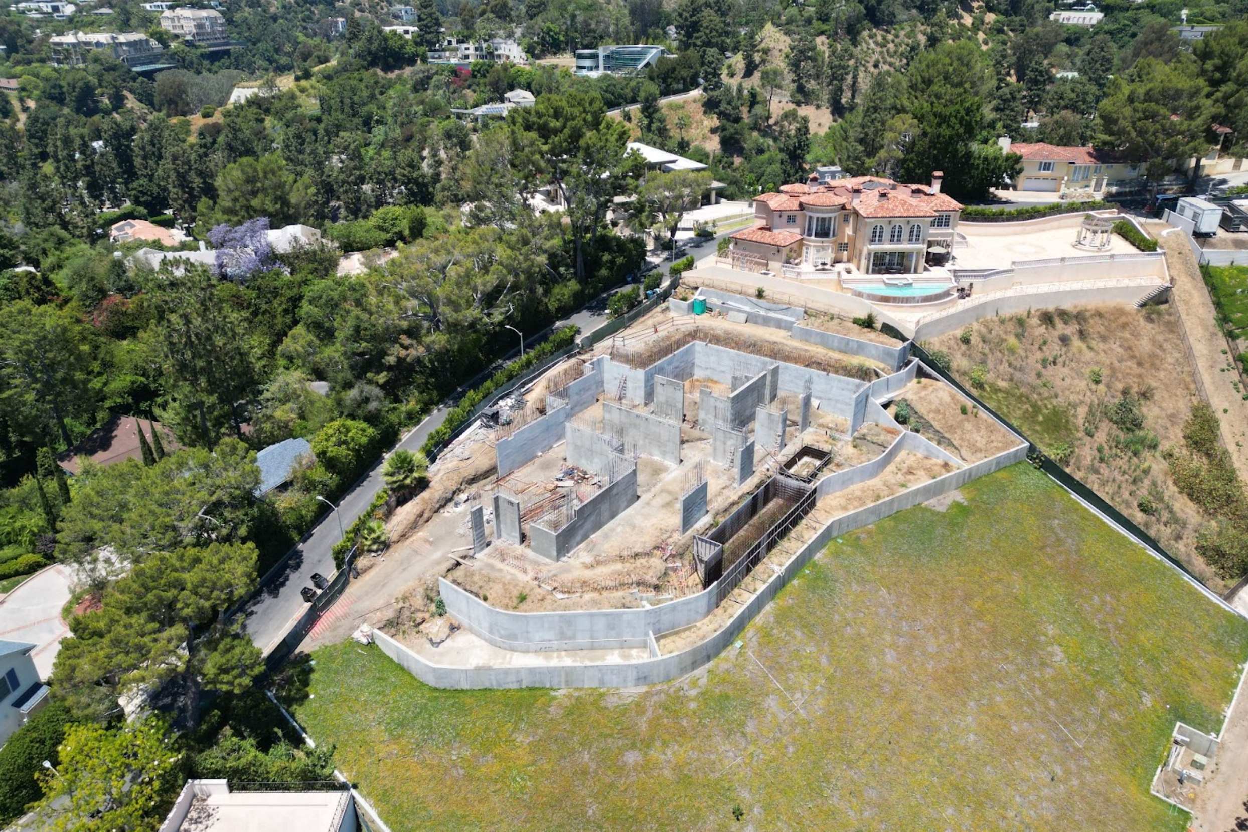
Given the fact that there are so many deliverables, I'll go into a general description of how to operate a UAV effectively on a construction site.
Safety
A construction site is not your typical environment. Death is possible and happens every day on construction sites. Putting your safety first is imperative on these sites. One wrong step, one second with your head in the controller and it can go sideways very quickly.
PPE is required
OSHA has strict rules on construction sites, as they should. Hardhat, high-visibility vest, work boots and pants are non-negotiable requirements on site. Consider wearing safety glasses as well.
OSHA 10-Hour Cert
Some construction clients will require you to have this certification. It helps back them up should an OSHA rep show up to check on things.
Flying
It's going to be your intuition to stay absolutely dialed in on the drone and the video feed. For your safety and the safety of others, split the difference between focusing on your immediate surroundings and the surroundings of the drone. Some construction equipment is challenging to see out of - it may be up to you to get out of their way.
Accuracy
Accuracy is a big topic of conversation in construction because of how they're using the data. Oftentimes construction companies will need survey-grade accuracy with GCP's, checkpoints and accuracy reports. This is so they can be confident in making decisions off of your data. You may need a licensed surveyor depending on what the client is using the data for.
In any situation where the client intends to use your data for legal purposes, it is required for you to have a licensed surveyor with you. There are very strict laws around this.
- Understand if the client has previous surveys you need to match your data to
- Do you have access to the local CORS network?
- What vertical datum do you need? The standard in the U.S. is NAD83
- Do you have access to known benchmarks?
- Do you have a stable RTK corrections solution?
- Are there any factors affecting the accuracy of your drone or base station?
Factors affecting accuracy:
- Magnetic interference
- Distance to corrections base station
- Stable FIX
- Length of time achieving FIX
- Satellite availability
If you have multiple pilots flying the same site to make the same map, make sure every pilot is connecting to the exact same base station. This is important so that all of the data is tied to one single point.
Post-Processing Kinematic (PPK)
Oftentimes drones are dispatched to areas with no cell coverage. Even if Starlink is available I would air on the side of caution and revert to a PPK workflow.
PPK is useful for mapping areas where no cell service or CORS is available. Think valleys in Colorado, the backsides of volcanoes in El Salvador, deserts in Saudi Arabia, or just a dead zone in your neighborhood. If the connection isn't stable, save yourself the pain and do a PPK workflow.
What is PPK?
PPK is a mapping workflow that delivers highly precise geospatial data by correcting GNSS positioning after a drone flight. Unlike RTK (Real-Time Kinematic), which applies corrections on the fly through a live signal, PPK allows you to gather your raw data in the field and apply corrections back at the office. This is especially useful in areas with weak or no signal coverage, such as remote, forested, or urban canyon environments.
The end result is a map with survey-grade relative accuracy, meaning that all the points in your dataset are extremely accurate in relation to one another. To make the map meaningful in the real world, however, you'll need to tie it to a known reference point using Ground Control Points (GCPs).
To be effective, GCPs should be placed thoughtfully. A small site should have at least three GCPs, while larger or more topographically complex sites should have seven or more. It's important to distribute them evenly, placing some on the edges and corners of the map, and including a variety of elevations. You can think of GCPs like stakes in a tent where each one helps pull the fabric of your map tight and holds it accurately to the earth.
Checkpoints
Checkpoints look just like GCPs, but they serve a different purpose. While GCPs influence your model during processing, checkpoints do not. Instead, checkpoints are withheld from the photogrammetry process and used later to test the accuracy of your final product. If your model is accurate, the coordinates in your map will closely match the measured coordinates of the checkpoints.
This distinction is critical: GCPs shape your model, and checkpoints verify it. Both are important, but they play very different roles in quality control.