See the price for your site in 60 seconds

Nationwide aerial data for insurers — rapid claims assessment, underwriting support, and catastrophe response.

See Your Price

No commitment. Order online in minutes.

FAA Part 107

Certified capture

24–72 hrs

Delivery time

Upfront

Fixed pricing

Overcome slow claims cycles, subjective assessments & safety risks

01

Challenges

The insurance industry faces constant pressure to improve efficiency and accuracy while managing risk. Slow claims processing frustrates policyholders, manual property inspections (especially roofs) pose safety hazards to adjusters, subjective damage assessments lead to disputes, accurately evaluating risk for underwriting is complex, and responding effectively to widespread catastrophe events strains resources. These challenges impact loss adjustment expenses (LAE), customer satisfaction, and profitability.
02

Solutions

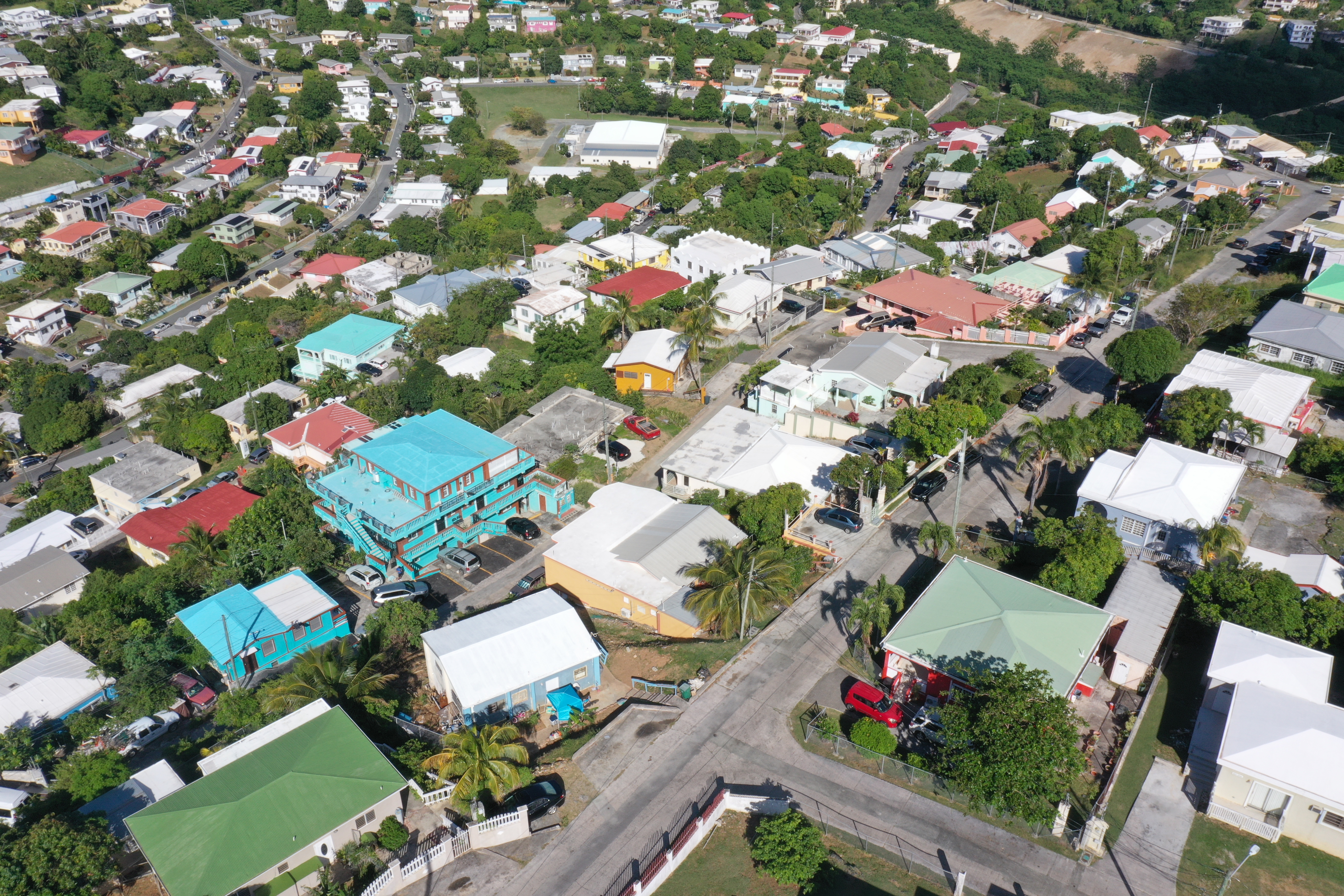
Revolutionize your field operations with objective aerial data. RAAD provides on-demand access to professional capture crews equipped for detailed property inspections. Gain rapid, safe access for comprehensive damage assessment, gather consistent data for underwriting risk analysis, expedite CAT event documentation, and reduce fraudulent claims through verifiable visual evidence. Streamline workflows, lower costs, improve adjuster safety, and enhance policyholder satisfaction.

Actionable aerial intelligence for P&C insurance workflows

01

Property claims inspections (roof & exterior)

Rapid deployment for high-resolution visual documentation of damage from hail, wind, fire, or other perils, capturing granular detail safely from the air.

02

Underwriting risk assessment

Obtain detailed aerial imagery and data (e.g., roof condition, property hazards, surrounding exposures) for more accurate risk evaluation and pricing on new or renewal policies.

03

Catastrophe (CAT) event response

Quickly scale aerial data collection in affected areas post-event for initial damage assessment, resource allocation, and faster claims triage.

04

Large loss & commercial property inspections

Efficiently document damage or assess conditions for large, complex commercial or industrial properties.

05

Fraud detection support

Provide clear, time-stamped aerial evidence to verify claim details and potentially identify inconsistencies or exaggeration.

06

Pre-mitigation / post-mitigation documentation

Capture before-and-after visuals to document property conditions related to mitigation efforts.

Faster claims, better decisions, happier customers

01

Accelerate claims processing

Reduce claim cycle times by up to 70% with rapid aerial inspections that eliminate scheduling delays and provide immediate, detailed documentation.

02

Enhance adjuster safety

Eliminate the need for dangerous roof inspections, reducing workplace injuries and liability while improving employee satisfaction and retention.

03

Reduce operational costs

Lower inspection costs by 40–60% compared to traditional methods while increasing adjuster efficiency and capacity during high-volume claim periods.

04

Improve documentation quality

Obtain comprehensive, high-resolution imagery that provides indisputable evidence for claim decisions and reduces disputes and litigation.

05

Enhance customer satisfaction

Provide faster claim resolutions and transparent documentation that builds trust and improves policyholder experience and retention.

06

Scale during catastrophes

Rapidly deploy multiple pilots to disaster areas, assessing hundreds of properties daily to clear backlogs and maintain service levels during peak demand.

Ready when you are

Pick your sites, see the price, and place your order — no quotes, no sales calls.

See Your Price