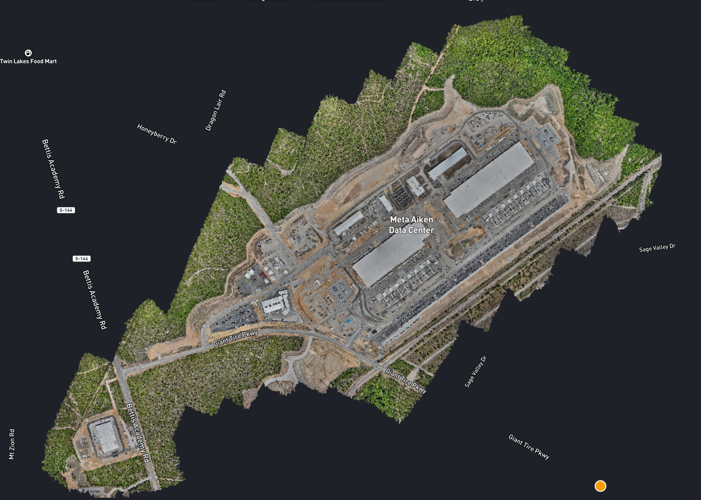
Mapping jobs span many industries, but to establish a go-to workflow for any mapping project, we've created this article outlining key procedures essential to every mapping job.
What does the client need?
Maps may be created and analyzed for a wide variety of reasons but it’s almost always true that the client wants to see their asset from their computer. The map you make will show their assets from near-earth and recently. It's true these assets can often be viewed from satellite imagery, but often that imagery is old, inaccurate and lacks enough detail. The map you provide on the other hand will be recent, accurate and detailed. In addition to that, the software you use to process the data will typically have some really powerful analytical tools to help your client pull actionable data.
How do we provide actionable data?
Mapping involves some basic geospatial scientific knowledge. You need to have a basic understanding about what factors influence the data that a drone captures. To provide actionable data, we need to take a look at two overarching topics: Accuracy and Fidelity
Accuracy
Factors to consider: GNSS strength, RTK availability, Ground Control Points (GCPs), equipment maintenance, environmental conditions, vertical and horizontal datums (though datums may not affect accuracy, it certainly dictates whether or not your data is actionable).
Fidelity
Factors to consider: sensor size and lens quality, flight altitude (which is what sets your GSD), front and side overlap, ground speed paired with shutter speed (together these are what produce motion blur), lighting and sun angle, and surface texture (uniform surfaces like water, fresh asphalt, or snow give the software almost nothing to tie points to).
Accuracy tells you where something is. Fidelity tells you what you can see. A map can be survey-tight and still useless if the GSD is too coarse to resolve a hairline crack, and it can be beautifully detailed while putting that crack three feet from where it actually sits. The two also pull against each other on job cost: dropping altitude to improve GSD means more flight lines, more batteries, more time on site. Decide up front which one the client is actually paying for, because most mapping jobs fail on one or the other, rarely both.