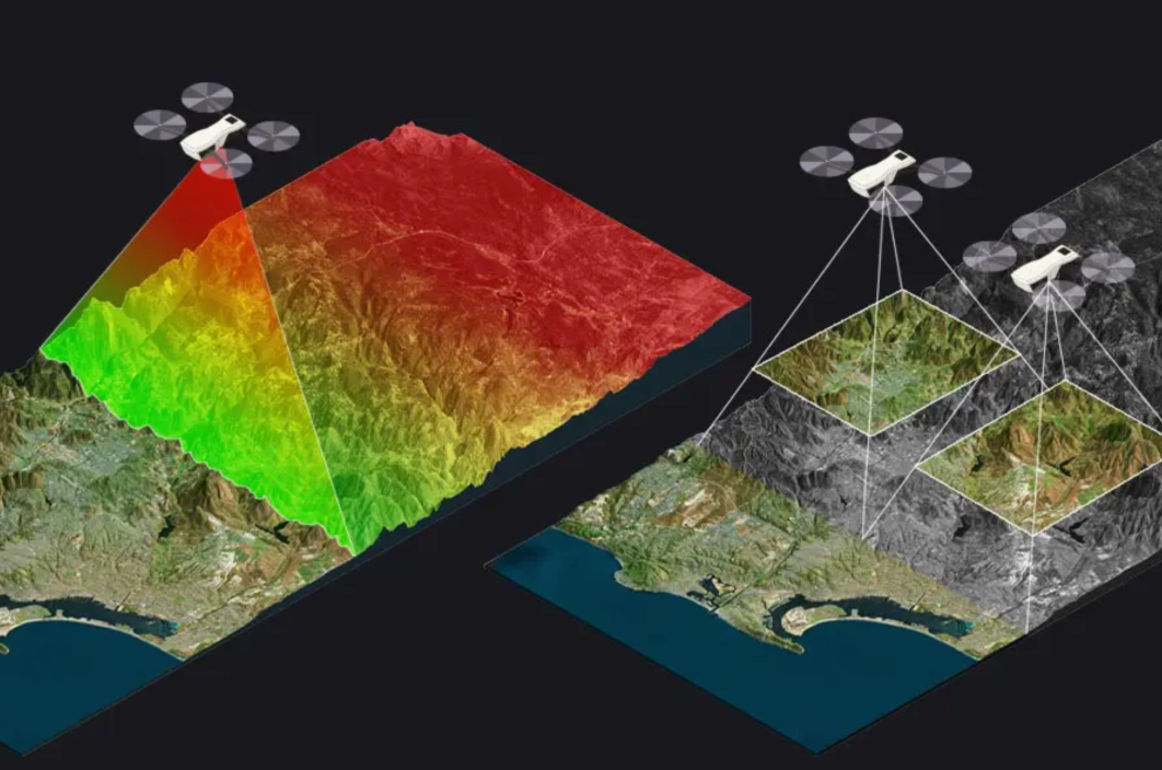
Getting professional aerial images always meant finding a provider, negotiating the scope of work, and hoping the deliveries matched what you requested. RAAD replaces this entire process with just one request form.
Select your area, choose the deliveries you want, and RAAD takes care of the rest. Processed images like orthomosaics, 3D models, and AI analysis reach your dashboard within days — not weeks. The way the photos are captured is our problem, not yours.
We start with mapping and inspection images in the United States, with more areas on the way.